


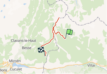

12.7 km | 27 km-effort

User GUIDE


FREE GPS app for hiking
 SityTrail
IGN / Geographical institutes
SityTrail World
The world is yours!
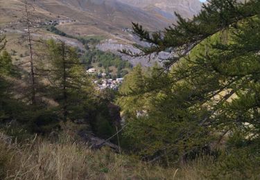
Trail Walking of 17.4 km to be discovered at Provence-Alpes-Côte d'Azur, Hautes-Alpes, La Grave. This trail is proposed by holtzv.
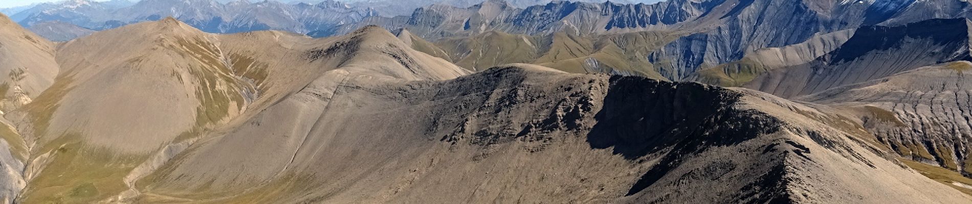
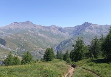
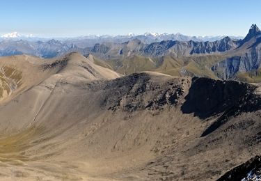
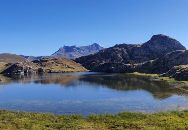
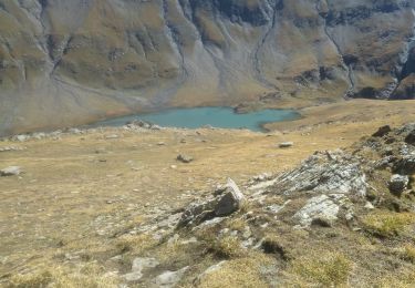
Ascension du Pic du Mas de la Grave (alt 3020m) offrant une vue à 360° sur les Grandes Rousses, le Mont Blanc, les aiguilles d’Arves et bien entendu la Meije. L’après-midi se fait sur les courbes de niveaux par le Rif Tort et le col St-Georges et permet de voir de nombreuses marmottes. Arrivée en fin d’après-midi au chalet du Fay pour la nuitée (alt 2260m) avec des commodités minimales.


Walking
Walking

Walking
Walking

Walking

Walking
Walking
Walking
Walking